
Mapa topográfico Hué
Mapa interactivo
Haga clic en el mapa para ver la altitud.
Acerca de este mapa
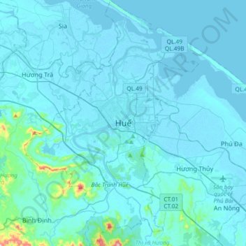
Nombre: Mapa topográfico Hué, altitud, relieve.
Lugar: Hué, Thừa Thiên Huế, 54000, Vietnam (16.32253 107.46826 16.60368 107.67605)
Altitud media: 24 m
Altitud mínima: -2 m
Altitud máxima: 489 m