
Mapa topográfico Gangavathi
Mapa interactivo
Haga clic en el mapa para ver la altitud.
Acerca de este mapa
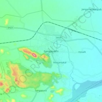
Nombre: Mapa topográfico Gangavathi, altitud, relieve.
Altitud media: 421 m
Altitud mínima: 384 m
Altitud máxima: 588 m
Gangavati lies at an average elevation of 406 metres (1,332 ft), and is situated close to the Tungabhadra Dam. It is a taluka (administrative division) of Koppal, a district that was previously part of Raichur and recently Gangavathi taluk bifurcated into kanakagiri and karatagi, those are new taluks in koppal district.
Otros mapas topográficos
Haga clic en un mapa para ver su topografía, su altitud y su relieve.
Navali
India > Karnataka > Gangavati taluku > Navali
Navali, Gangavati taluku, Koppal district, Karnataka, India
Altitud media: 452 m
Anegundi
India > Karnataka > Gangavati taluku
Anegundi, Gangavati taluku, Koppal district, Karnataka, India
Altitud media: 429 m