
Mapa topográfico Cartier Island
Mapa interactivo
Haga clic en el mapa para ver la altitud.
Acerca de este mapa
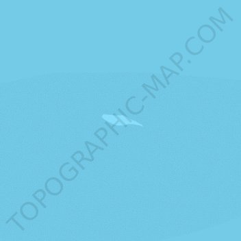
Nombre: Mapa topográfico Cartier Island, altitud, relieve.
Lugar: Cartier Island, Ashmore and Cartier Islands, Australia (-12.53136 123.55272 -12.52995 123.55748)
Altitud media: 0 m
Altitud mínima: -1 m
Altitud máxima: 0 m
Otros mapas topográficos
Haga clic en un mapa para ver su topografía, su altitud y su relieve.
Ashmore Reef
Australia > Ashmore and Cartier Islands
Ashmore Reef, Ashmore and Cartier Islands, Australia
Altitud media: 0 m