
Mapa topográfico Apennine Mountains
Mapa interactivo
Haga clic en el mapa para ver la altitud.
Acerca de este mapa
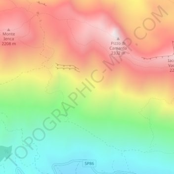
Nombre: Mapa topográfico Apennine Mountains, altitud, relieve.
Lugar: Apennine Mountains, L'Aquila, Abruzzo, Italy (42.45439 13.46662 42.45449 13.46672)
Altitud media: 1.735 m
Altitud mínima: 1.153 m
Altitud máxima: 2.348 m
A separate branch, the Apuan Alps, goes southwest, bordering the coast south of La Spezia. Whether they are to be considered part of the Apennines is a matter of opinion; certainly, they are part of the Apennine System. Topographically only the valley of the River Serchio, which running parallel to the coast turns and exits into the Tyrrhenian Sea north of Pisa, separates the Apuan Alps from the Apennines; geologically the rock is of a slightly different composition, marble. The Roman marble industry was centered at Luna, and is now active in Carrara.
Otros mapas topográficos
Haga clic en un mapa para ver su topografía, su altitud y su relieve.
Fonte Cerreto
Italy > Abruzzo > L'Aquila > L'Aquila
Fonte Cerreto, L'Aquila, Abruzzo, Italy
Altitud media: 1.329 m
Campo Imperatore
Italy > Abruzzo > L'Aquila > L'Aquila
Campo Imperatore, L'Aquila, Abruzzo, Italy
Altitud media: 2.056 m