
Haz una donación
Mapa topográfico Red Deer Lake
Haga clic en el mapa para ver la altitud.
Haz una donación
Acerca de este mapa
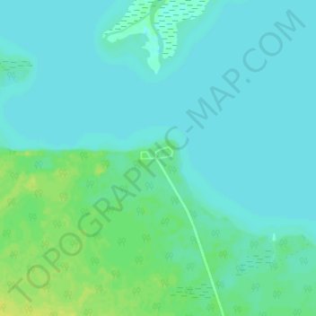
Nombre: Mapa topográfico Red Deer Lake, altitud, relieve.
Altitud media: 262 m
Altitud mínima: 258 m
Altitud máxima: 274 m
Haz una donación
Otros mapas topográficos
Haga clic en un mapa para ver su topografía, su altitud y su relieve.
Fisher River Cree Nation
Canada > Manitoba > Unorganized Division No. 19 > Dallas/Red Rose
Altitud media: 226 m
Haz una donación
Swan Lake
Canada > Manitoba > Unorganized Division No. 19
The Swan Lake drainage basin covers 3,880 square miles (10,000 km2) and extends into the province of Saskatchewan. It is located between the Duck Mountains and the Porcupine Hills. Two major rivers discharge into Swan Lake from the basin, the Swan River and the Woody River. Other topographic features include…
Altitud media: 269 m
Peguis First Nation
Canada > Manitoba > Unorganized Division No. 19 > Dallas/Red Rose
Altitud media: 247 m
Haz una donación