
Haz una donación
Mapa topográfico Kazabazua
Haga clic en el mapa para ver la altitud.
Haz una donación
Kazabazua
The village and municipality are named after the Kazabazua River which passes through it. Like many other First Nations names, Kazabazua has had many spellings in English, such as Kazaluzu, Kasubasua, Cazabasua, Cazibazouis, Cazebalzuac, Cajibajouis. This word comes from the Algonquin word kachibadjiwan, from kach ("hidden") and djiwan ("current"), hence it means "underground river". This name is a reflection of the local topography because the Kazabazua River disappears underground and resurfaces a few dozen metres (yards) downstream. The river then flows through rapids and passes under a natural stone bridge.
Haz una donación
Acerca de este mapa
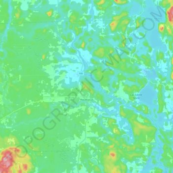
Nombre: Mapa topográfico Kazabazua, altitud, relieve.
Altitud media: 178 m
Altitud mínima: 138 m
Altitud máxima: 359 m
Haz una donación
Otros mapas topográficos
Haga clic en un mapa para ver su topografía, su altitud y su relieve.
Île Laflamme
Canada > Quebec > La Vallée-de-la-Gatineau > Sainte-Thérèse-de-la-Gatineau
Altitud media: 248 m
Haz una donación
Haz una donación
Sainte-Thérèse-de-Gatineau
Canada > Quebec > La Vallée-de-la-Gatineau > Sainte-Thérèse-de-la-Gatineau
Altitud media: 180 m
Haz una donación
Haz una donación