
Gracias por apoyar a este sitio ❤️
Haz una donación
Haz una donación
Mapa topográfico Rosemary
Haga clic en el mapa para ver la altitud.
Gracias por apoyar a este sitio ❤️
Haz una donación
Haz una donación
Acerca de este mapa
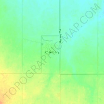
Nombre: Mapa topográfico Rosemary, altitud, relieve.
Lugar: Rosemary, County of Newell, Alberta, T0J 2W0, Canada (50.73504 -112.10693 50.77504 -112.06693)
Altitud media: 747 m
Altitud mínima: 735 m
Altitud máxima: 765 m
Gracias por apoyar a este sitio ❤️
Haz una donación
Haz una donación
Otros mapas topográficos
Haga clic en un mapa para ver su topografía, su altitud y su relieve.
Dinosaur Provincial Park
Canada > Alberta > County of Newell
The park is situated in the valley of the Red Deer River, which is noted for its striking badland topography. The park is well known for being one of the richest dinosaur fossil locales in the world. Fifty-eight dinosaur species have been discovered at the park and more than 500 specimens have been removed and…
Altitud media: 712 m