
Mapa topográfico St. Joseph Island
Mapa interactivo
Haga clic en el mapa para ver la altitud.
Acerca de este mapa
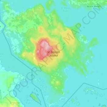
Nombre: Mapa topográfico St. Joseph Island, altitud, relieve.
Altitud media: 196 m
Altitud mínima: 171 m
Altitud máxima: 348 m
Its highest point, known colloquially and by surveyors as "the Mountain," is near the centre of the island near Carterton with an elevation of 345.6 m, which is about 169 m above Lake Huron.