
Gracias por apoyar a este sitio ❤️
Haz una donación
Haz una donación
Mapa topográfico Heinersberg
Haga clic en el mapa para ver la altitud.
Gracias por apoyar a este sitio ❤️
Haz una donación
Haz una donación
Acerca de este mapa
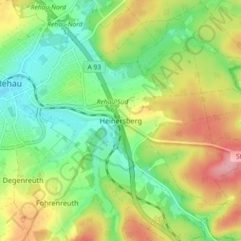
Nombre: Mapa topográfico Heinersberg, altitud, relieve.
Lugar: Heinersberg, Rehau, Landkreis Hof, Bayern, 95111, Deutschland (50.22382 12.04229 50.26382 12.08229)
Altitud media: 567 m
Altitud mínima: 521 m
Altitud máxima: 633 m
Gracias por apoyar a este sitio ❤️
Haz una donación
Haz una donación