

Mapa topográfico Camurlim
Haga clic en el mapa para ver la altitud.
Acerca de este mapa
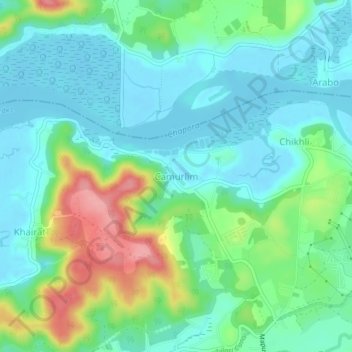
Nombre: Mapa topográfico Camurlim, altitud, relieve.
Lugar: Camurlim, Bardez, North Goa District, Goa, 403517, India (15.62466 73.78182 15.66466 73.82182)
Altitud media: 31 m
Altitud mínima: 0 m
Altitud máxima: 112 m
Otros mapas topográficos
Haga clic en un mapa para ver su topografía, su altitud y su relieve.


Mapusa
Mapusa is located at 15°36′N 73°49′E / 15.60°N 73.82°E / 15.60; 73.82. It has an average elevation of 15 metres (49 feet). It lies on the banks of Mapusa River. Mapusa has a tropical climate with temperatures ranging from a high of 37 °C in summer with high levels of humidity to a low of 21 °C in winters.
Altitud media: 29 m
