
Mapa topográfico Presidente Kubitschek
Mapa interactivo
Haga clic en el mapa para ver la altitud.
Presidente Kubitschek
The municipal seat of Presidente Kubitschek is located at an elevation of 1109 meters in the upper Jequitinhonha River valley. It is south of Diamantina to which it is connected by state highways MG-259 and federal highway BR-267. The nearest major population center is Diamantina.
Acerca de este mapa
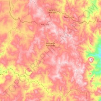
Nombre: Mapa topográfico Presidente Kubitschek, altitud, relieve.
Altitud media: 1.142 m
Altitud mínima: 746 m
Altitud máxima: 1.344 m