
Haz una donación
Mapa topográfico Niphad
Haga clic en el mapa para ver la altitud.
Haz una donación
Niphad
Niphad is the name both of the town and the Taluka headquartered there. It is within the Nashik District of Maharashtra, India. The Marathi name signifies "a place without mountains", and indeed the taluka's topography is fairly level, with hardly any hills. It is served by Niphad railway station. Niphad's latitude and longitude coordinates are 20°5′0″N 74°7′0″E / 20.08333°N 74.11667°E / 20.08333; 74.11667. Located northeast of Nashik city, the Taluka borders Sinnar, Nashik, Dindori, Chandwad, and Yeola Talukas and Ahmednagar District, and has no direct access to the sea. The Niphad Sub-Division is composed of Niphad, Sinnar and Yeola Talukas.
Haz una donación
Acerca de este mapa
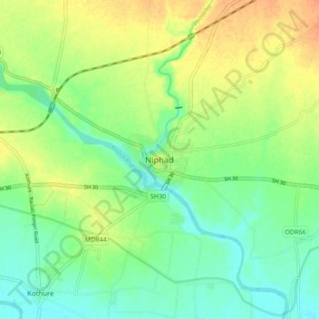
Nombre: Mapa topográfico Niphad, altitud, relieve.
Altitud media: 550 m
Altitud mínima: 534 m
Altitud máxima: 570 m
Haz una donación