
Mapa topográfico Emscher-Auen
Mapa interactivo
Haga clic en el mapa para ver la altitud.
Acerca de este mapa
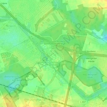
Nombre: Mapa topográfico Emscher-Auen, altitud, relieve.
Altitud media: 62 m
Altitud mínima: 49 m
Altitud máxima: 73 m
Otros mapas topográficos
Haga clic en un mapa para ver su topografía, su altitud y su relieve.
Castrop
Deutschland > Nordrhein-Westfalen > Kreis Recklinghausen > Castrop-Rauxel
Castrop, Castrop-Rauxel, Kreis Recklinghausen, Nordrhein-Westfalen, 44575, Deutschland
Altitud media: 79 m