
Mapa topográfico Dokdo Island
Mapa interactivo
Haga clic en el mapa para ver la altitud.
Acerca de este mapa
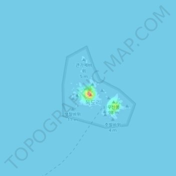
Nombre: Mapa topográfico Dokdo Island, altitud, relieve.
Altitud media: 0 m
Altitud mínima: 0 m
Altitud máxima: 96 m
The Liancourt Rocks, also known by their Korean name of Dokdo or their Japanese name of Takeshima, are a group of islets in the Sea of Japan between the Korean peninsula and the Japanese archipelago administered by South Korea. The Liancourt Rocks comprise two main islets and 35 smaller rocks; the total surface area of the islets is 0.187554 square kilometres (46.346 acres) and the highest elevation of 168.5 metres (553 ft) is on the West Islet. The Liancourt Rocks lie in rich fishing grounds that may contain large deposits of natural gas. The English name Liancourt Rocks is derived from Le Liancourt, the name of a French whaling ship that came close to being wrecked on the rocks in 1849.