
Mapa topográfico Muncie
Mapa interactivo
Haga clic en el mapa para ver la altitud.
Acerca de este mapa
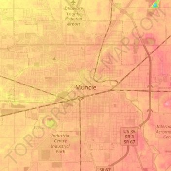
Nombre: Mapa topográfico Muncie, altitud, relieve.
Lugar: Muncie, Delaware County, Indiana, United States (40.14910 -85.45445 40.24070 -85.32067)
Altitud media: 291 m
Altitud mínima: 237 m
Altitud máxima: 313 m
Otros mapas topográficos
Haga clic en un mapa para ver su topografía, su altitud y su relieve.
Selma
United States > Indiana > Delaware County
Selma, Delaware County, Indiana, United States
Altitud media: 304 m
Yorktown
United States > Indiana > Delaware County > Yorktown
Yorktown, Delaware County, Indiana, United States
Altitud media: 282 m
Eaton
United States > Indiana > Delaware County > Eaton
Eaton, Delaware County, Indiana, 47338, United States
Altitud media: 279 m