
Mapa topográfico Warrior
Mapa interactivo
Haga clic en el mapa para ver la altitud.
Acerca de este mapa
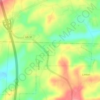
Nombre: Mapa topográfico Warrior, altitud, relieve.
Lugar: Warrior, Jefferson County, Alabama, United States (33.83861 -86.81552 33.84150 -86.81154)
Altitud media: 149 m
Altitud mínima: 107 m
Altitud máxima: 193 m
Warrior is in the Central time zone. The elevation at the center of town is 564 feet (172 m), though it ranges from over 620 feet (190 m) north of the center to less than 300 feet (91 m) along the Locust Fork of the Black Warrior River, which forms the southern boundary of the city.