
Mapa topográfico West Rutland
Mapa interactivo
Haga clic en el mapa para ver la altitud.
West Rutland
The town of Rutland was originally granted in 1761 as one of the New Hampshire Grants and named after Rutland, Massachusetts, the home of the first grantee, John Murrey. It was one of the most successful of those grants because of excellent farmland and gentle topography.
Acerca de este mapa
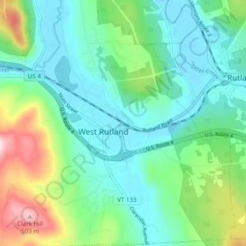
Nombre: Mapa topográfico West Rutland, altitud, relieve.
Lugar: West Rutland, Rutland County, Vermont, 05777, United States (43.57037 -73.06800 43.61950 -73.02223)
Altitud media: 233 m
Altitud mínima: 141 m
Altitud máxima: 502 m