
Mapa topográfico Selma
Mapa interactivo
Haga clic en el mapa para ver la altitud.
Acerca de este mapa
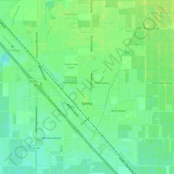
Nombre: Mapa topográfico Selma, altitud, relieve.
Lugar: Selma, Fresno County, California, 93662, United States (36.55215 -119.64638 36.59808 -119.59119)
Altitud media: 96 m
Altitud mínima: 88 m
Altitud máxima: 102 m
Selma is a city in Fresno County, California. The population was 23,319 at the 2010 census, up from 19,240 at the 2000 census. Selma is located 16 miles (26 km) southeast of Fresno, at an elevation of 308 feet (94 m).