
Gracias por apoyar a este sitio ❤️
Haz una donación
Haz una donación
Mapa topográfico Val Veny
Haga clic en el mapa para ver la altitud.
Gracias por apoyar a este sitio ❤️
Haz una donación
Haz una donación
Acerca de este mapa
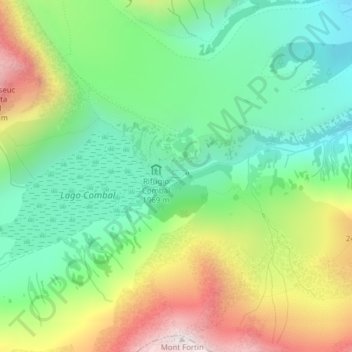
Nombre: Mapa topográfico Val Veny, altitud, relieve.
Lugar: Val Veny, Courmayeur, Valle d'Aosta, Italië (45.76587 6.85992 45.78587 6.87992)
Altitud media: 2.151 m
Altitud mínima: 1.801 m
Altitud máxima: 2.755 m
Gracias por apoyar a este sitio ❤️
Haz una donación
Haz una donación