
Mapa topográfico Statesville
Mapa interactivo
Haga clic en el mapa para ver la altitud.
Statesville
Statesville has a humid subtropical climate (Cfa) like most of the state of North Carolina, although its higher elevation leads to cooler temperatures than much of the Piedmont. Summers are generally hot and humid, with mild nights, while winters are usually cool with chilly nights and sporadic snowfall. Severe thunderstorms can be an issue during summer, with wind speeds of 60 mph and even gusts of 95 mph being recorded during these storms.
Acerca de este mapa
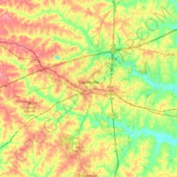
Nombre: Mapa topográfico Statesville, altitud, relieve.
Lugar: Statesville, Iredell County, North Carolina, United States (35.71914 -80.96949 35.83465 -80.77855)
Altitud media: 269 m
Altitud mínima: 220 m
Altitud máxima: 315 m