
Mapa topográfico College Heights
Mapa interactivo
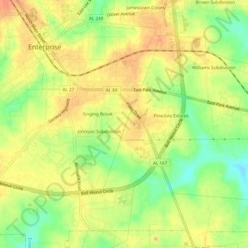
Haga clic en el mapa para ver la altitud.
Acerca de este mapa
Nombre: Mapa topográfico College Heights, altitud, relieve.
Altitud media: 103 m
Altitud mínima: 76 m
Altitud máxima: 120 m
Otros mapas topográficos
Haga clic en un mapa para ver su topografía, su altitud y su relieve.
Indian Springs
United States > Alabama > Coffee County > Enterprise > Indian Springs
Indian Springs, Enterprise, Coffee County, Alabama, 36331, United States
Altitud media: 96 m
Valley Hills
United States > Alabama > Coffee County > Enterprise > Valley Hills
Valley Hills, Enterprise, Coffee County, Alabama, 36330, United States
Altitud media: 109 m