
Mapa topográfico Twentynine Palms
Mapa interactivo
Haga clic en el mapa para ver la altitud.
Acerca de este mapa
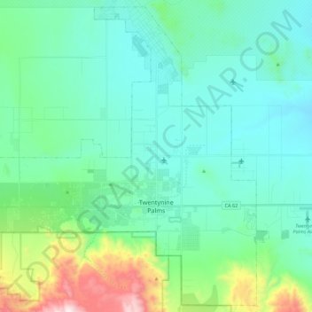
Nombre: Mapa topográfico Twentynine Palms, altitud, relieve.
Altitud media: 690 m
Altitud mínima: 489 m
Altitud máxima: 1.546 m
According to the United States Census Bureau, the city has a total area of 59.1 square miles (153 km2), all land. The city is at an elevation of 1,988 feet (606 m). The Marine Corps Air Ground Combat Center Twentynine Palms is located there.