
Mapa topográfico Assergi
Mapa interactivo
Haga clic en el mapa para ver la altitud.
Acerca de este mapa
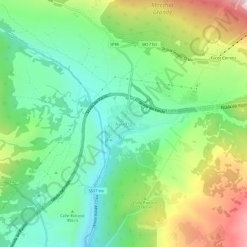
Nombre: Mapa topográfico Assergi, altitud, relieve.
Lugar: Assergi, L'Aquila, Abruzzo, Italy (42.39532 13.48718 42.43532 13.52718)
Altitud media: 1.035 m
Altitud mínima: 782 m
Altitud máxima: 1.509 m
Assergi is a frazione of the comune of L'Aquila, located about 11 km (6.8 mi) from the capital. With a population of just over 500, it is situated at an altitude of approximately 1,000 meters, below the western slope of the Gran Sasso in a small plain called the Piana di Assergi (Plain of Assergi). Assergi was formerly included in the comune of Camarda, which is directly to its south.
Otros mapas topográficos
Haga clic en un mapa para ver su topografía, su altitud y su relieve.
Fonte Cerreto
Italy > Abruzzo > L'Aquila > L'Aquila
Fonte Cerreto, L'Aquila, Abruzzo, Italy
Altitud media: 1.329 m
Apennine Mountains
Italy > Abruzzo > L'Aquila > L'Aquila
Apennine Mountains, L'Aquila, Abruzzo, Italy
Altitud media: 1.735 m
Campo Imperatore
Italy > Abruzzo > L'Aquila > L'Aquila
Campo Imperatore, L'Aquila, Abruzzo, Italy
Altitud media: 2.056 m